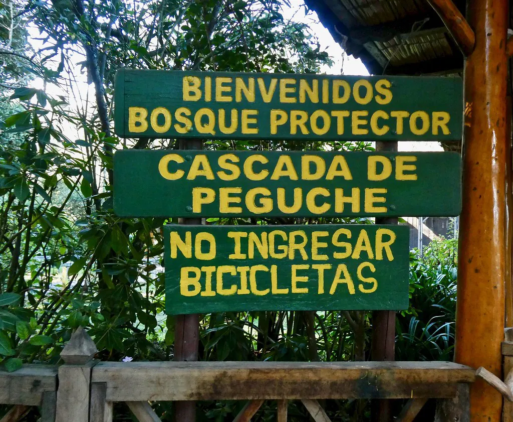
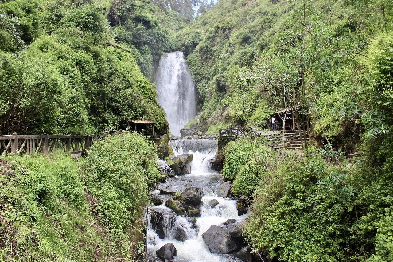
Cascada de Peguche is an 18-meter waterfall located within a 40-acre protected eucalyptus forest in the Imbabura province of Ecuador. The environmental conditions shift drastically depending on the month you choose to arrive. Planning a successful visit requires understanding the specific high-altitude weather patterns of the Andean mountains. The site sits at an elevation of 2,500 meters (8,200 feet), creating a localized microclimate that behaves entirely differently from the Ecuadorian coast or the Amazon basin.“Cascada de Peguche” by krossbow is licensed under BY. Source: OpenverseThe 18-meter drop of Cascada de Peguche surrounded by dense eucalyptus forest.
Understanding the Imbabura Climate
The region maintains a perpetual spring environment year-round. Average daytime highs hover between 64°F and 70°F (18°C – 21°C). Nighttime temperatures drop sharply to a chilly 45°F to 50°F (7°C – 10°C) once the sun sets over the Imbabura volcano. The Instituto Nacional de Meteorología e Hidrología (INAMHI) [Official Website] tracks these fluctuations, noting that the altitude strips away the humidity found in other parts of the country.Visitors often assume the equator guarantees intense heat. The reality is much cooler. You must pack layers. The high altitude means the atmosphere is thinner, resulting in stronger UV radiation during the day and rapid cooling in the evening. This is the exact microclimate you need to prepare for.
The Golden Rule of the Highlands
Regardless of the month, the Andean highlands follow a highly predictable daily rhythm. Mornings are generally bright, clear, and sunny. Rain clouds accumulate over the surrounding peaks by early afternoon. Sudden showers tend to roll through the valley between 2:00 PM and 4:00 PM.Travelers should schedule their outdoor physical activities before noon. Arriving at the forest gates by 8:30 AM guarantees clear skies for walking the primary trails. If you plan to explore the Trail Map & Hiking Guide to reach the upper suspension bridge, doing so in the morning prevents slipping on wet rocks. You can save your afternoon hours for indoor activities like visiting Local Workshops & Weavers in the surrounding community.
The Dry Season: June to September
These are the driest and sunniest months of the year in Imbabura. July and August see the lowest total rainfall. The trails harden into packed dirt, making the uphill segments easier to walk. The crisp air provides maximum visibility for seeing the surrounding mountain peaks from the upper viewpoints.The waterfall itself runs clear during these months. The volume of water dropping over the cliff face is lower, allowing visitors to stand closer to the base without getting soaked by heavy mist. This season is highly recommended for families traveling with small children or older adults who require stable footing on the paths.
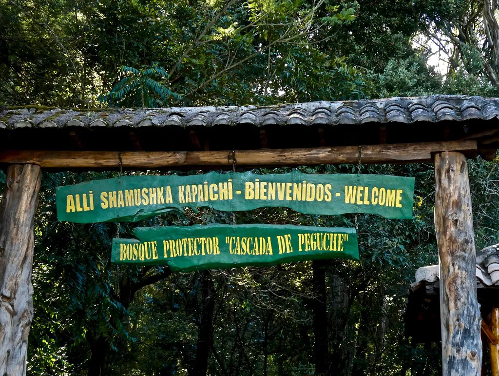
“Bosque Protector ‘Cascada de Peguche'” by krossbow is licensed under BY. Source: Openverse
The Wet Season: October to May
Rain is far more frequent during this long stretch. The precipitation keeps the 40-acre Bosque Protector deeply green. March and April typically experience the heaviest downpours. The soil absorbs massive amounts of water, and the river swells significantly.The waterfall transforms into a roaring, aggressive force during the peak wet months. The water turns a muddy brown color due to sediment washing down from the upper mountain slopes. The impact of the water hitting the rocks below generates a massive cloud of mist that coats the immediate viewing area. The cobblestone paths near the base become exceptionally slick. Visitors must wear proper hiking boots with aggressive tread to walk safely through the main plaza.
The wet season brings out the true power of the river. The noise of the water echoes off the canyon walls long before you even see the falls.
Inti Raymi 2026: The Festival of the Sun
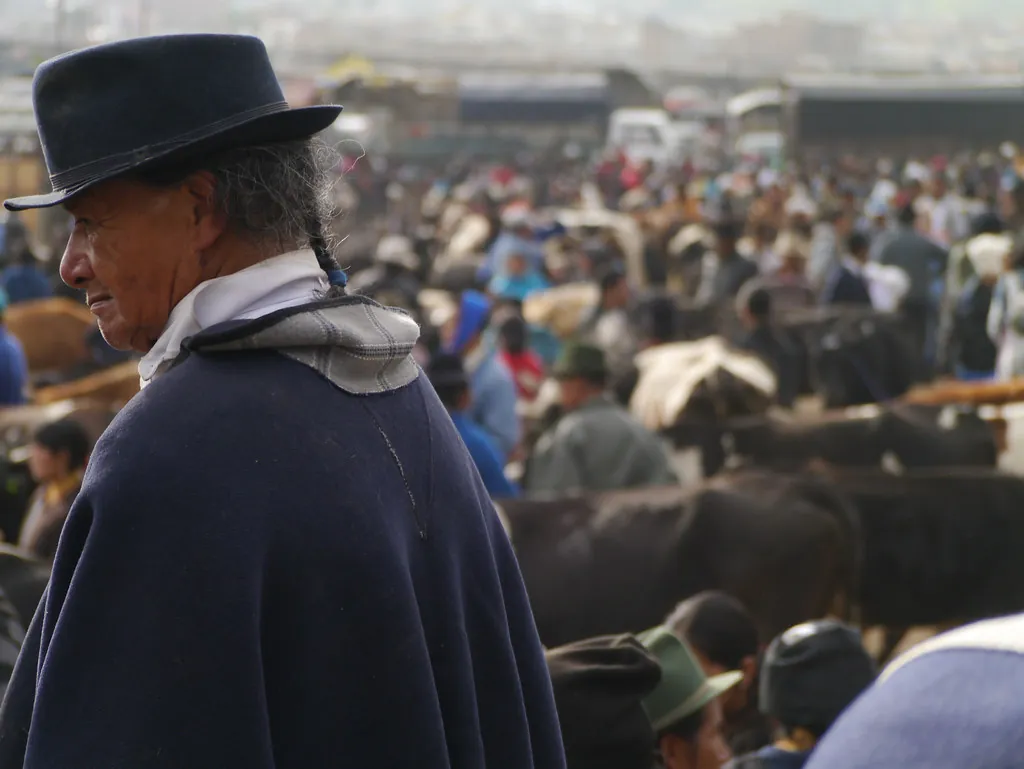
June brings a massive shift in the cultural energy of the site. The Inti Raymi festival, tied to the June Solstice, is the most important indigenous celebration in the Andes. The local Kichwa communities gather to give thanks to the earth for the harvest. The Municipality of Otavalo [Official Website] coordinates regional events, but the waterfall remains the spiritual center of the activities.The Midnight Purification Baths take place during this time. The site is technically accessible 24/7, and this open-door policy becomes highly significant during the solstice nights. Hundreds of locals walk to the base of the falls in total darkness to bathe in the freezing water. This ritual cleanses negative energy and prepares participants for days of continuous dancing.If you visit during late June 2026, expect massive crowds, loud music, and heavy foot traffic. The normal tranquility of the protected forest vanishes entirely. You can learn more about these specific rituals in our guide to Kichwa Culture & The Inti Raymi Festival or read up on the broader history in Understanding the Andean Inti Raymi Traditions. If you want peace and quiet, avoid the final two weeks of June. If you want profound cultural immersion, booking your accomodation early is mandatory.“Otavalo, Ecuador” by Padmanaba01 is licensed under BY-SA. Source: OpenverseThe surrounding Imbabura landscape.
Navigating Crowd Patterns: Weekdays vs. Weekends
Crowd density fluctuates predictably throughout the week. Monday through Thursday mornings offer near-total isolation. You might share the 40-acre forest with only a few local caretakers and a handful of international backpackers.Saturdays and Sundays present a completely different environment. The site is a major domestic tourism destination. Families from Quito drive two hours north to spend the day picnicking under the eucalyptus trees. The local food stalls near the entrance fire up their grills, selling traditional hornado, fritada, and choclo. The atmosphere is loud and active. Those interested in the local culinary scene can find more details in our overview of Exploring Ecuador: Nearby Attractions.
Chasing the Light: Best Times for Photography
The physical geography of the canyon dictates your photography schedule. The waterfall faces west. Tall rock walls and massive trees surround the immediate basin.
Early Morning (8:00 AM – 10:00 AM): The sun rises behind the waterfall. The main face remains in deep, even shadow. This allows photographers to use long exposure times to blur the falling water without overexposing the bright sky.
Midday (11:00 AM – 1:00 PM): The sun sits directly overhead. Harsh light cuts through the canopy, creating severe contrast and unappealing shadows across the water.
Late Afternoon (3:00 PM – 5:00 PM): The sun moves to the west, illuminating the front of the waterfall directly. The light turns warm and golden. You run the risk of heavy rain during these hours, but a clear afternoon provides the best direct illumination of the water and the surrounding green foliage.
Month-by-Month Weather & Condition Breakdown
Month
Season
Trail Conditions
Crowd Levels
January
Wet
Muddy in patches
Moderate
February
Wet
Slick stones
High (Carnival holiday)
March
Peak Wet
Very wet, large puddles
Low
April
Peak Wet
Slick, heavy river flow
Low
May
Transition
Drying out slowly
Moderate
June
Dry
Firm dirt, clear paths
Extreme (Inti Raymi)
July
Peak Dry
Dusty, excellent grip
High (Summer travel)
August
Peak Dry
Dusty, clear skies
High (Summer travel)
September
Transition
Firm, occasional rain
Low
October
Wet
Damp topsoil
Low
November
Wet
Muddy sections
Moderate (Public holidays)
December
Wet
Variable
High (Christmas travel)
Practical Logistics for 2026
The official entry point is located in the Faccha Llacta community. The distance from the Otavalo city center is approximately 3.3 to 4.0 kilometers. You can walk this route in 30 to 40 minutes, or you can take a local taxi for $2.50. You can find detailed bus routes and driving directions on our How to get to Cascada de Peguche page.There is no state-mandated ticket price. The site operates on a community management model. Visitors must stop at the registration desk near the main archway. A voluntary donation of $1 to $2 per person is highly expected. These funds pay the local staff who clean the trails, maintain the bathrooms, and manage the Conservation & Environment programs protecting the watershed.Parking is available in community-run dirt lots near the entrance. The fee is generally $1 to $2 per vehicle. The welcome center and facilities operate from 7:00 AM to 7:00 PM. Access to the trails remains open after hours, but there is no lighting. Walking the forest at night is strictly for local ceremonial purposes and is not advised for general tourists. For broader security advice in the region, refer to our Is Northern Ecuador Safe for Tourists? guide.
Bring small change. The registration desk and the food vendors rarely have enough coins to break a $20 bill.
Timing Your Regional Itinerary
A trip to the waterfall is rarely an isolated event. Most travelers combine the forest walk with a visit to the active indigenous market in the center of town. Sequencing your day correctly is vital for avoiding the afternoon rain and navigating teh cobblestone paths safely.The optimal strategy is starting your morning in the forest. Arrive at 8:30 AM. Spend two hours walking the lower trails, crossing the bridge, and photographing the falls. Leave the site by 10:30 AM and head into Otavalo. The artisan market reaches its peak activity level around 11:00 AM. You can spend the afternoon browsing the textiles under the protection of the market tents while the inevitable 2:00 PM rain shower passes over the city.Travelers extending their trip should read our 7-Day Imbabura Itinerary for Travelers to coordinate dates across multiple towns. Many international visitors choose to simplify their logistics by booking an integrated day trip. Joining a guided Otavalo Tour from Quito Visiting Cayambe and the Indigenous Market frequently includes a scheduled stop at the waterfall. You can review all current transportation and guiding options on our Tickets & Tours page. The Ecuador Ministry of Tourism [Official Website] regularly audits registered operators to maintain safety standards.Photo by fe31lopz on PixabayThe water volume expands dramatically during the wet season, creating heavy mist in the lower basin.
Essential Packing List for Andean Weather Shifts
Your clothing choices dictate your comfort level. The environment changes rapidly from hot and sunny to wet and freezing.
Footwear: Leave flat sneakers at the hotel. The trails consist of packed dirt, exposed tree roots, and smooth river stones. You need hiking shoes with deep rubber treads.
Rain Gear: A lightweight, packable rain jacket is mandatory every single day of the year. Umbrellas are useless on the narrow suspension bridge.
Sun Protection: The high altitude burns skin quickly. Apply SPF 50 sunscreen before you leave your hotel. Wear a wide-brimmed hat.
Hydration: The altitude accelerates dehydration. Bring a reusable water bottle. You cannot drink the tap water or the river water. Read the Visitor Rules & Guidelines for information on waste disposal and plastic reduction in the reserve.
Choosing Your Ideal Time to Visit
Selecting the right month depends entirely on your personal priorities. If you want pristine hiking trails and minimal rain, book your trip for July or August. If you are a photographer looking for the maximum volume of water crashing over the rocks, arrive in March or April and carry a dry bag for your camera.If cultural observation is your primary goal, the final two weeks of June offer an experience unmatched anywhere else in the country. The Inti Raymi festival turns the quiet forest into a massive ceremonial site. Be prepared for crowds, noise, and total disruption of normal schedules. The waterfall is a dynamic environment. The water, the light, and the people change with the calendar. Review the monthly breakdown, pack your rain gear, and arrive early in the morning.
Area Overview: Best Neighborhoods & Zones Selecting accommodations in the Imbabura province requires an understanding of the distinct micro-regions surrounding the local towns. The immediate area enveloping the main waterfall is officially designated as the indigenous community of Fakcha Llakta, which translates directly to “Waterfall Community” in Kichwa. Booking a homestay in this specific zone…
The Sacred Tree of Otavalo The sacred El Lechero tree, scientifically classified as Euphorbia laurifolia, stands at an exact altitude of 2,845 meters (9,334 feet) atop the Pucará Rey Loma hill. For generations, indigenous communities have venerated this specific site. The original tree, estimated to be over 200 years old, held deep spiritual significance because…
The Imbabura Philosophy: Pacing and Acclimatization The Imbabura province, recognized formally as a UNESCO Global Geopark, rewards travelers who prioritize structured pacing over rapid transit. Dedicating a full seven days to this northern Ecuadorian region allows the human respiratory system to properly acclimatize to the high Andean altitude. This measured approach significantly reduces the physiological…
The Cosmic Significance of Inti Raymi in the Andes Midday on June 21st marks a highly specific astronomical and cultural pivot in the Imbabura province. At exactly 12:00 PM, indigenous communities gather at the Inti Watana—the ancient solar calendar positioned near the entrance of the protected forest—to officially open the Inti Raymi solstice ceremonies. This…
The Imbabura province is defined by its loom culture, a tradition so deeply entrenched in the local identity that the rhythm of the shuttle often dictates the pace of daily life. For the visitor standing in the center of the Plaza de Ponchos (officially Plaza Centenario), the sheer volume of textiles can be overwhelming. This…
The Independent Traveler’s Guide to Ecuador’s Highland Public Transit Embracing Public Transport for Budget Travel Ecuador’s public bus network functions as the primary circulatory system connecting the high-altitude capital to the northern agricultural provinces. For international backpackers and independent travelers, mastering this transit grid provides a highly organized, cost-effective alternative to expensive private shuttles. While…